Our Next Trip South 2007

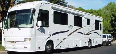
Driving 560 plus miles from Queretaro to McAllen, Texas.
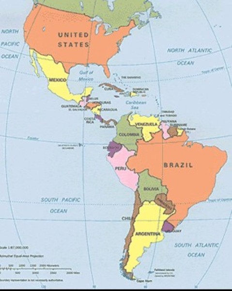
We left Quéretaro about 7:15 a.m. Our plan was to stop in San Luis Potosi or Matehuala, both of which have camping facilities of sorts. Well our fuel tank was almost full, the weather was good and the roads excellent and free for the most
part. We neared San Luis, it was still early in the day so we took the Cuota road around the town. Soon we were nearing Matehuala and there was a Cuota road that went around it. The campground there has a 124 roof to go under to get
to it -no way would we be able to drive under that so we would have had to park out front - no utilities. Anyway it was
still too early in the day to stop. We were making good time as the roads were really good. From time to time we would pass little settlements off the road. Also goats being herded up the center medium and horses and cows grazing on the shoulders.
The Driver asked if there was a way to avoid going through Satillo and/or Monterrey. Dutifully I checked the map. Hum - they were up the road a piece. Yes there is a road we can take that goes to Linares and well miss both of those towns. The map says its a primary road. Pull over when you can and check it out. See what you think. He pulled over and checked the map. It looked like less mileage and would miss both towns. The decision was made to take it.
No problem - when the turn off came we turned. From the road we were on to Linaries was about 60 miles. The road seemed fine, only two narrow lanes and very little in the way of a shoulder but smooth and straight. NOT! The sign that said no double trailer trucks were allowed on the road should have given us a clue. We started to climb and there started to be lots curves. I took another look at the map. We were going to cross a mountain range. We went round and round and up and then round and round and down. One good thing there was very little traffic on the road and what there was was usually smaller than us. Did meet a couple of busses that were willing to pass us any where there was 50 feet between curves. Going up wasnt as bad as coming down. Most of the curves on the downhill side were the hairpin type. But the road was banked and there were even some guard rails here and there. The 60 miles took two hours. Finally we were back on a main road headed north again.
From Montemorelos there was another primary road that would cut more miles off the journey but we decided against it and continued on to Allende. On this part of our journey from Queretaro to Allende we had been stopped and boarded three times at military check points. The soldiers were very professional and friendly and just glanced around before sending us on our way. None asked for the basement doors to be opened and only one looked in any of the cupboards.
From Allende theres an autopista (according to the map) to Cadereyta de Jimenez. We came to an intersection with signs Cadereyta ? (derecho) and Cadereyta ? (derecha) what the? We were holding up traffic so we had to make a decision. Bill hollered to the traffic controller and asked Cadereyta? Derecha was the answer - along with a couple more words we didnt catch. Always ask for clarification. We turned right and headed through Allende. According to more signs we were on the road to Cadereyta that turned out to be the truck route and was free. The problem came when we got into the town. How were we to get on the Cuota to Reynosa? We followed the signs, first straight, then left, then right, then left, then straight. We turned so many times I completely lost my sense of direction and had no idea which direction we were traveling. For all I knew we were headed back into central Mexico. Finally we saw the much longed for sign. Reynosa Cuota. Up we went onto a beautiful highway. By now it was afternoon and I was beginning to wonder what The Driver had in mind. Are we going to stop? I asked. There arent any campground listed anywhere along this road.
Well I want to fill the tank in here (diesel is U$2.07 a gallon in Mexico as opposed to U$2.70 or so in USA). So we can spend the night in one of the nice Pemex stations. We continued driving - finally a sign Pemex 60K about 40 miles, okay.
The Pemex came into sight and it was an old one with out very much parking. And it was 95degrees out. On asphalt. Didnt sound inviting. Bill said he wasnt tired and the roads were good so we filled the tank and continued on. Soon we were at the outskirts of Reynosa, the US border just a short distance away. By now it was after 7p.m. but still light out. The only information in the book about crossing the border here was - Be careful it is easy to miss the Mexican Border station and end up in the USA without turning in your papers. With this in mind we were both reading every sign - we thought. We followed the Puente International signs faithfully until we came up to an intersection with two signs, one pointing straight and the other pointing left. But in the middle of the intersection were big orange barrels. We had pulled half way into the intersection and figured we could not turn left without knocking the barrels over. By now we had traffic backed up behind and to the right of us. A man came out of a guard house in front of us and motioned us to MOVE - horns were blowing from behind and right. Bill yelled to him, which way to border? (in Spanish of course) A moot point as we could not go left, right or back up. The man motioned ahead and down a ramp. So off we went. Down the ramp around a curve and OH NO - we had to go around another sharp curve to the right with a concrete barricade on one side and an eight inch double curb on the right side. We started around - the back right wheels of the motorhome hit the curb and we stopped - abruptly. The horns started in again. Bill put the motorhome in reverse and backed up a tiny bit. Then he put it in drive and muscled the wheels up and over the curbs. Now all we had to worry about was Willie making it okay. I watched Willie in the camera and he watched the road. Everything was okay, we made it up to a regular road HEADED FOR THE USA CROSSING STATION!
No turning our papers in to the Mexican officials. Left with no choice we went through the inspection station. The inspector asked all the usual questions then told us to pull over into the #4 inspection area. Bill did as he was told. Another inspector came over and asked what we were doing there. We should be by the x-ray machine. We needed to back up. Dont think so said Bill. Well you cant go forward replied the inspector, youll never make it. So .unhook the jeep, I drove it over by the x-ray machine and he backed up the motorhome and brought it around to be x-rayed. Then they x-rayed the jeep. Dont know why. Maybe it was because the Jeep has Nevada plates and the motorhome has a California registration. No one came inside to look around.
Well we were in the USofA. I knew there were campgrounds in McAllen but didnt know how to find them. Called one and he gave us directions. Called him again and he clarified the directions. We FOUND it. The gate was open but the office was closed. On the office door were directions on what to do if arriving late. We drove in and found a pull-through space with 50amps. It was 9:05 by now. Got parked, unhooked, took showers and went out to eat. Found an Applebees and enjoyed a good steak dinner. Back to motorhome and collapsed into bed for a good nights sleep, air conditioning running full tilt.
Our marathon run to the states was a little over 560 miles. Took from 7 a.m to 8 p.m.
We are staying at the McAllen Mobile Park on McColl St. It is a very nice place, Reasonable rates for a weeks stay, wi-fi, laundry room, nice rec room with a library. Very quiet - but of course we are here off season.